El Mentidero - El Canto - El Cascajo
Detailed trail information
Circular route of approximately 3 hours in duration and 10 km in length, subdivided into 15 sections, running along most of the first branch and the entirety of the fourth and second branches of the “El Mentidero–El Canto–El Cascajo” trail.
19
3h 1min 45s
Low
Circular
9,95 Km
Route Map
View the route and trail poles
Trail Details
All the information you need to know
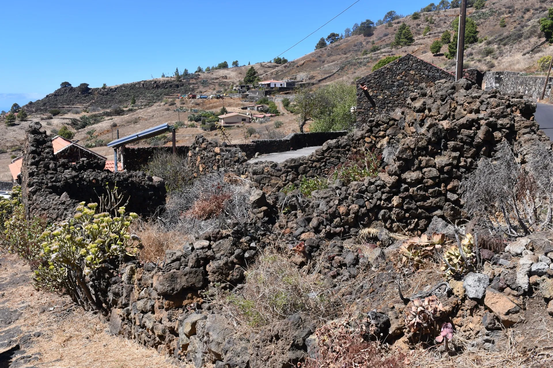
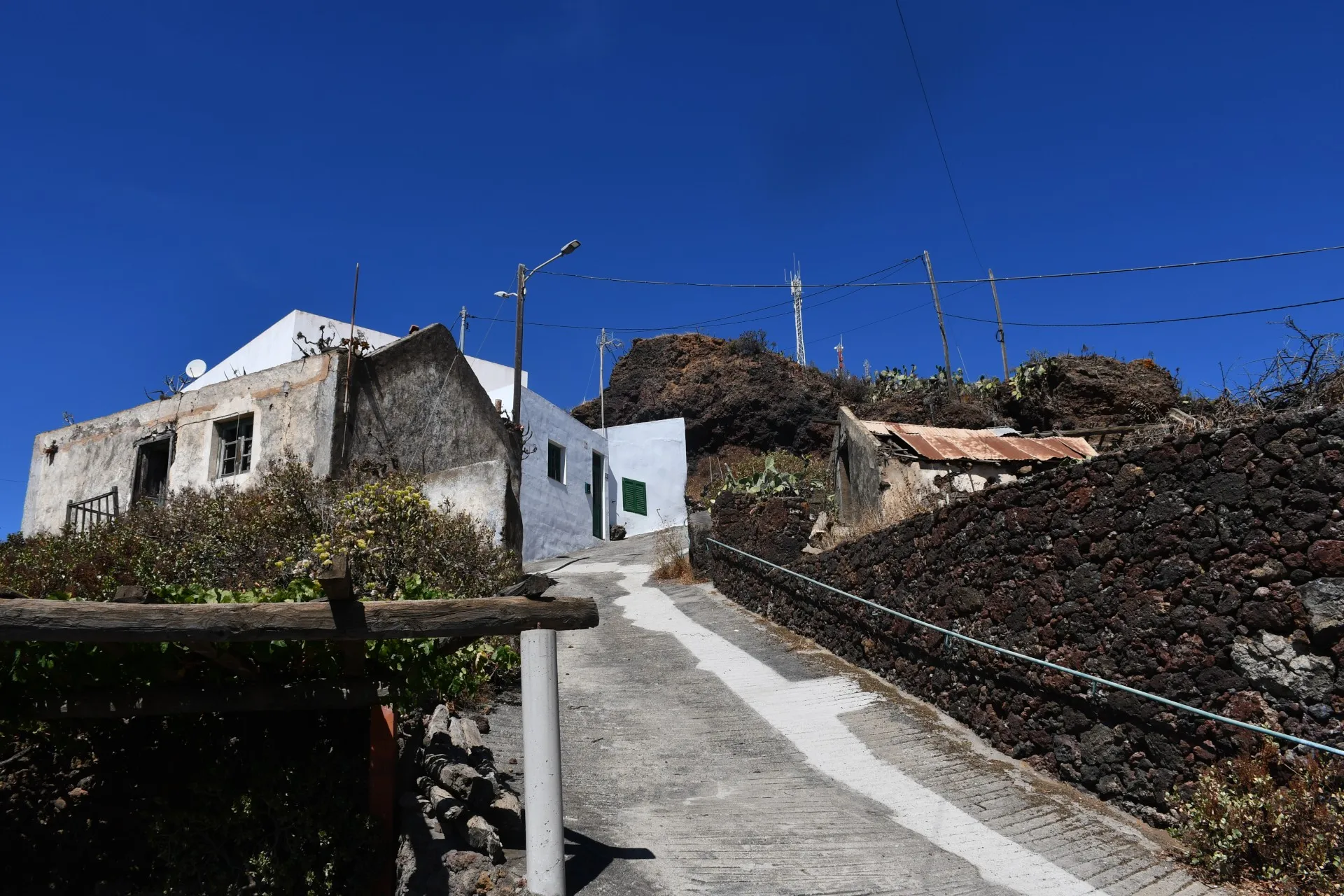
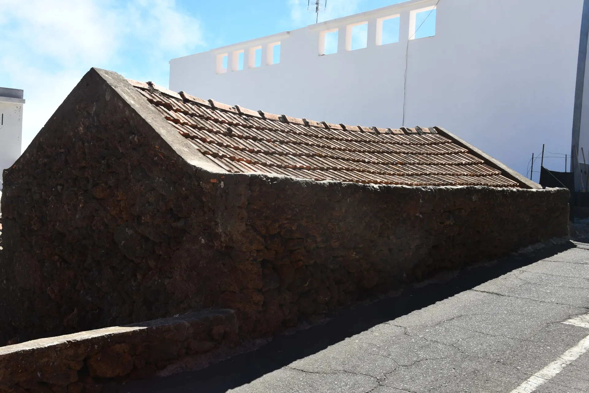
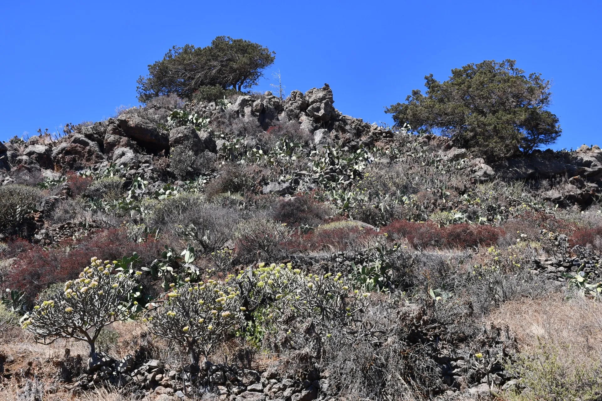
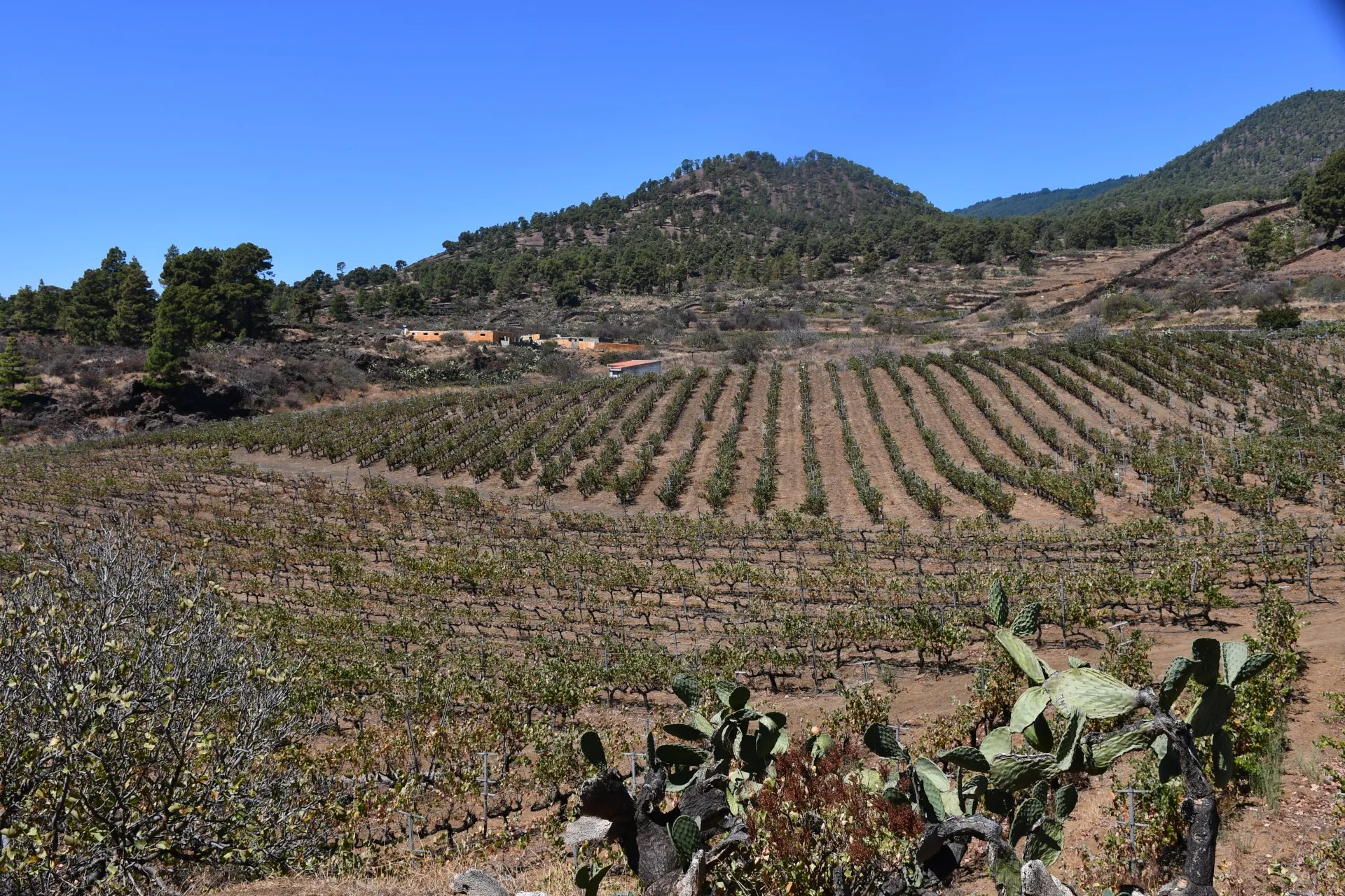
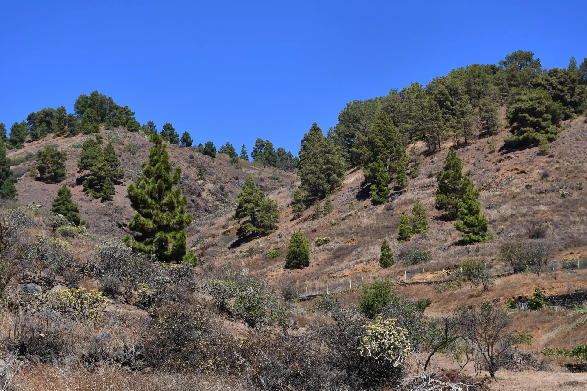
This route offers a broad sample of everything provided by the network of branches that make up the trail known as “El Mentidero–El Canto–El Cascajo”. It is an itinerary of about 10 km, lasting close to 3 hours, which begins at “El Mentidero” and runs, in the following order, along most of the first branch (3,5 km) and the entirety of the fourth (0,7 km) and the second branch (5,2 km), returning to the starting point. The route is subdivided into a total of 15 sections, each with a maximum duration of around ten minutes, which allow for an in-depth approach, based on the information provided on 17 posts equipped with a QR code, to three of the four themes offered by the trail: “El Latido del Monte” (Branch 1), which will let you experience the steady pulse of nature re-emerging in places that, in times past, were transformed by human presence and later abandoned; the “Vereda de la Austeridad” (Branch 4), which highlights the traces of isolation and the harsh living conditions of the past; and “La Senda del Sustento” (Branch 2), which explores the subsistence of entire generations of Piñeros and Piñeras founded on their close relationship with the sea and the land and on the development of pastoral and fishing activities.
Detailed Route - Poles
| Branch | Pole Name | Altitude | Distance | Duration |
|---|---|---|---|---|
| Ramal 1 | R1_P1-P2 | ↗ 831m / ↘ 804m |
↗ 0,06 km ↘ 0,61 km |
11min 33s |
| Ramal 1 | R1_P2-P3 | ↗ 808m / ↘ 765m | ↘ 0,68 km | 11min 33s |
| Ramal 1 | R1_P3-P4 | ↗ 765m / ↘ 751m |
↗ 0,35 km ↘ 0,32 km |
11min 33s |
| Ramal 1 | R1_P4-P5 | ↗ 751m / ↘ 703m | ↘ 0,61 km | 11min 33s |
| Ramal 1 | R1_P5-P6 | ↗ 704m / ↘ 653m |
↗ 0,49 km ↘ 0,67 km |
11min 33s |
| Ramal 1 | R1_P6-P7 | ↗ 653m / ↘ 578m | ↘ 0,67 km | 11min 33s |
| Ramal 1 | R1_P7-P8 | ↗ 578m / ↘ 449m | ↘ 0,67 km | 11min 33s |
| Ramal 1 | R1_P8 | ↗ 449m / ↘ 449m | - | - |
| Ramal 4 | R4_P1-P2 | ↗ 643m / ↘ 516m | ↘ 0,51 km | 8min 48s |
| Ramal 4 | R4_P2 | ↗ 516m / ↘ 478m | ↘ 0,19 km | 3min 15s |
| Ramal 2 | R2_P1-P2 | ↗ 509m / ↘ 478m | ↗ 0,56 km | 11min 6s |
| Ramal 2 | R2_P2-P3 | ↗ 506m / ↘ 491m |
↗ 0,32 km ↘ 0,15 km |
9min 30s |
| Ramal 2 | R2_P3-P4 | ↗ 532m / ↘ 501m | ↗ 0,52 km | 8min 58s |
| Ramal 2 | R2_P4-P5 | ↗ 617m / ↘ 532m | ↗ 0,87 km | 14min 51s |
| Ramal 2 | R2_P5-P6 | ↗ 664m / ↘ 617m | ↗ 0,49 km | 8min 24s |
| Ramal 2 | R2_P6-P7 | ↗ 671m / ↘ 651m |
↗ 0,49 km ↘ 0,32 km |
13min 49s |
| Ramal 2 | R2_P7-P8 | ↗ 730m / ↘ 665m | ↗ 0,65 km | 11min 6s |
| Ramal 2 | R2_P8-P9 | ↗ 804m / ↘ 730m | ↗ 0,65 km | 11min 6s |
| Ramal 2 | R2_P9 | ↗ 804m / ↘ 804m | - | - |