R1_P5-P6
Detailed pole information
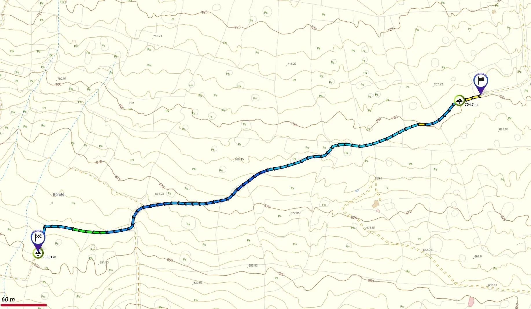
This pole is part of the trail El Mentidero - El Canto - El Cascajo in the Ramal 1. A strategic point of the route that will help you orient yourself during your journey.
Pole Details
All technical information of the point
Description
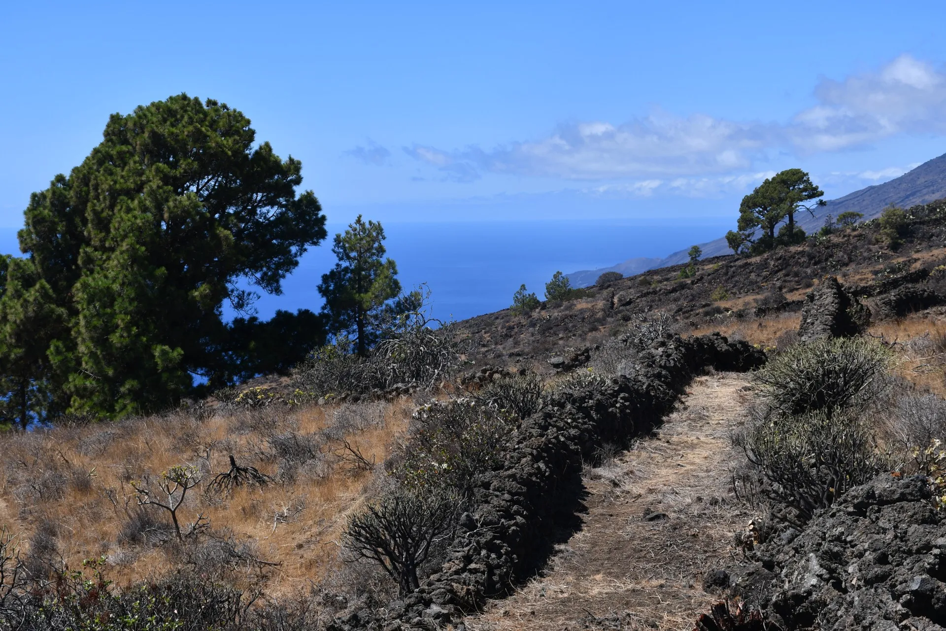
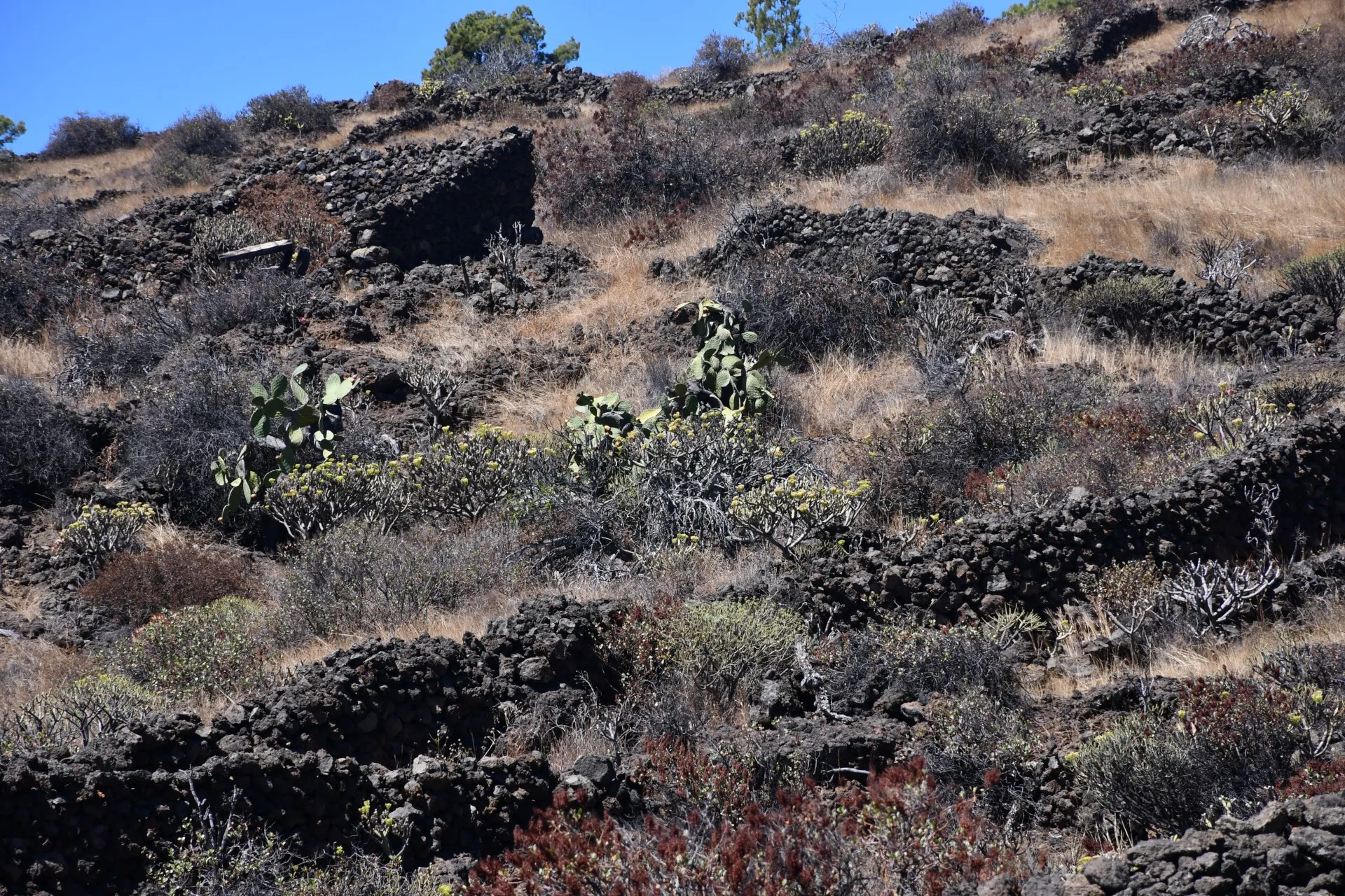
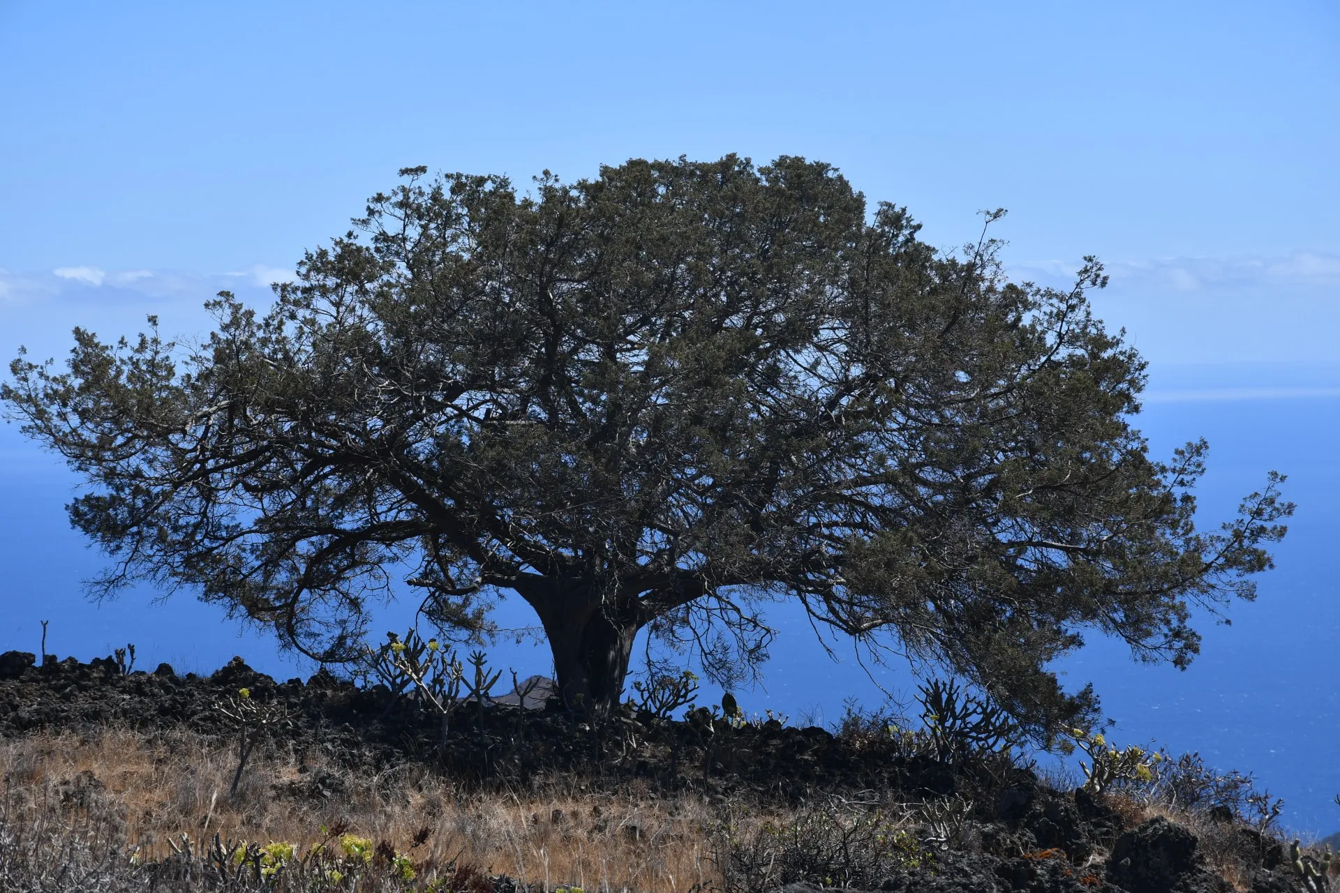
This stretch of the trail continues along the same mule track started in the previous section, descending in a southwest direction, and ends in the area known as El Bérote, which also gives its name to the path itself. Here, the Canary Island pines (Pinus canariensis) are highly scattered and isolated, and a few "sabinas" (Juniperus turbinata subsp. canariensis) can still be seen, resisting disappearance from a territory they once dominated.
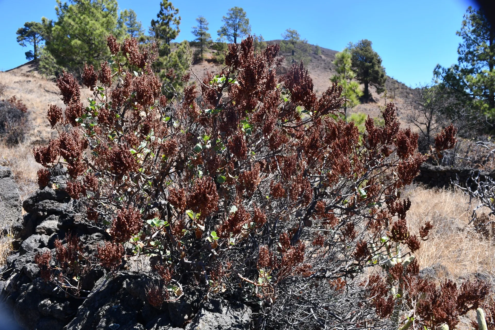
Today, much of this area is dominated by a mosaic of dry-stone enclosures, now overgrown with scrubland, which has reclaimed these spaces following the almost complete abandonment of human activity. Among the returning vegetation, one plant stands out as both a survivor of the past landscape management and a witness to human intervention: "calcosas" (Rumex lunaria). Historically, this forage plant was highly valued by goats, and it also had a variety of uses: as a cough remedy, to treat wounds or bee stings, to dye threads yellow, and to increase the acidity of vinegar, among others. Its thick, dried stems, known locally as "chocos", were used as firewood, burning slowly enough for cooking stews and producing abundant embers.
Although this plant is known as “vinagrera” elsewhere in the Canary Islands, on El Hierro it has preserved its ancestral aboriginal name, a rare example of local cultural continuity amidst the replacement of indigenous names by Castilian ones on other islands.
Datos Técnicos
| Branch | Ramal 1 |
|---|---|
| Coordinates | 27.691636, -18.002101 |
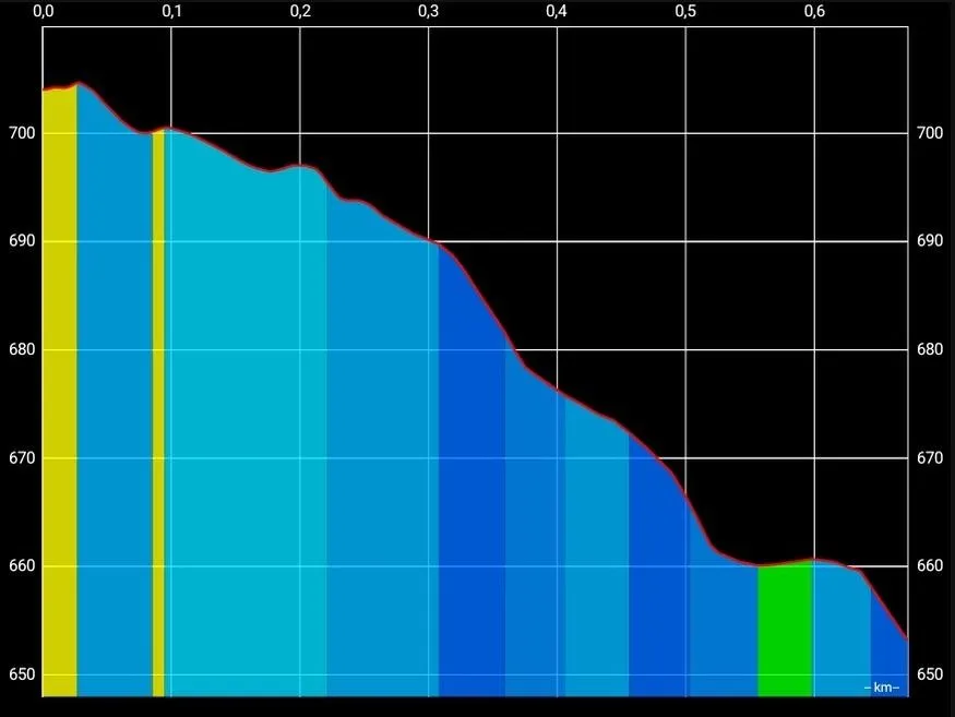
| Maximum altitude | 704 m |
| Minimum altitude | 653 m |
| Distance (Ascending) | 0,49 km |
| Distance (Descending) | 0,67 km |
| Duration | 11min 33s |
Pole Location
View the exact location of the pole