R2_P5-P6
Detailed pole information
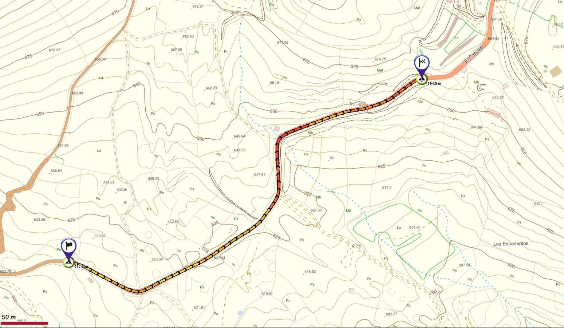
This pole is part of the trail El Mentidero - El Canto - El Cascajo in the Ramal 2. A strategic point of the route that will help you orient yourself during your journey.
Pole Details
All technical information of the point

Description
Along this stretch, Branch 2 of the trail continues ascending toward the area known as El Abra de los Pasitos, a site nestled between two adjacent mountains (volcanoes): La Tifirabena Chica (the taller peak) on the right-hand side of the path, and Mount La Tifirabena (the smaller peak) on the opposite side.
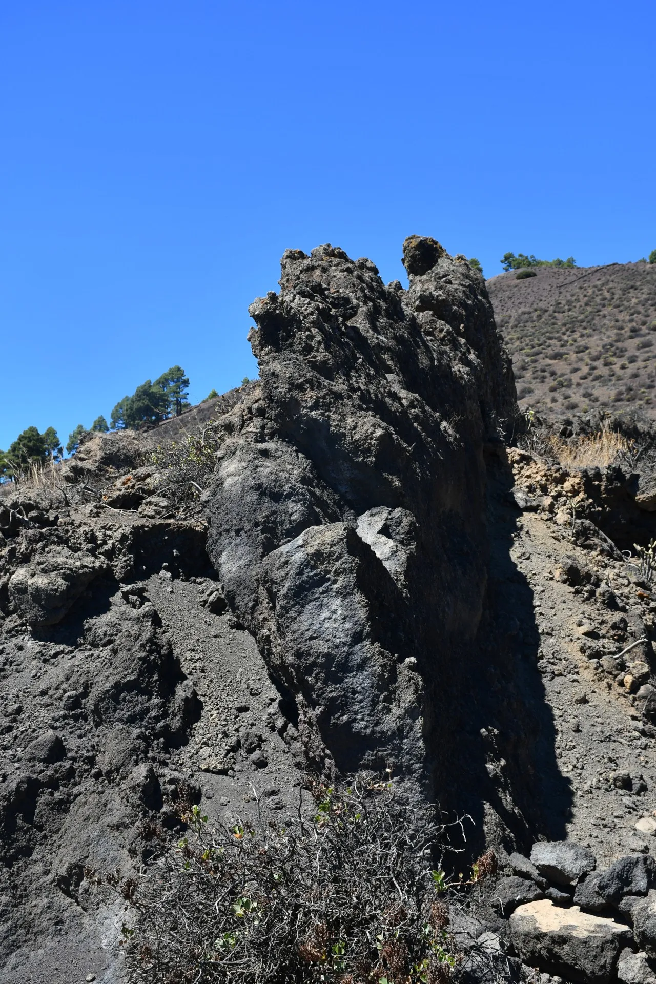
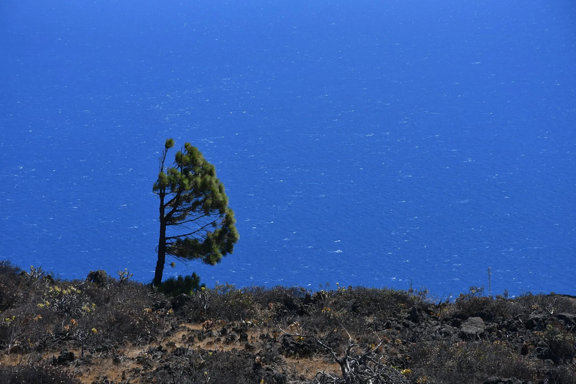
For the most part, the landscape remains consistent with the previous section, allowing hikers to admire how nature slowly reclaims what humans have abandoned, constantly and relentlessly reminding us who truly governs and who must adapt —though not always solely through obstacles. Sometimes, nature even facilitates our passage, for example by fracturing and arranging a lava flow almost vertically, like a natural dam, which reduces the need for countless hours of labor, sweat, and effort that, for centuries, went into building the dry-stone walls that crisscross the island like veins and capillaries. Nature also leaves clear traces in the landscape of the direction, strength, and frequency of the prevailing winds, even on days when there is no wind.
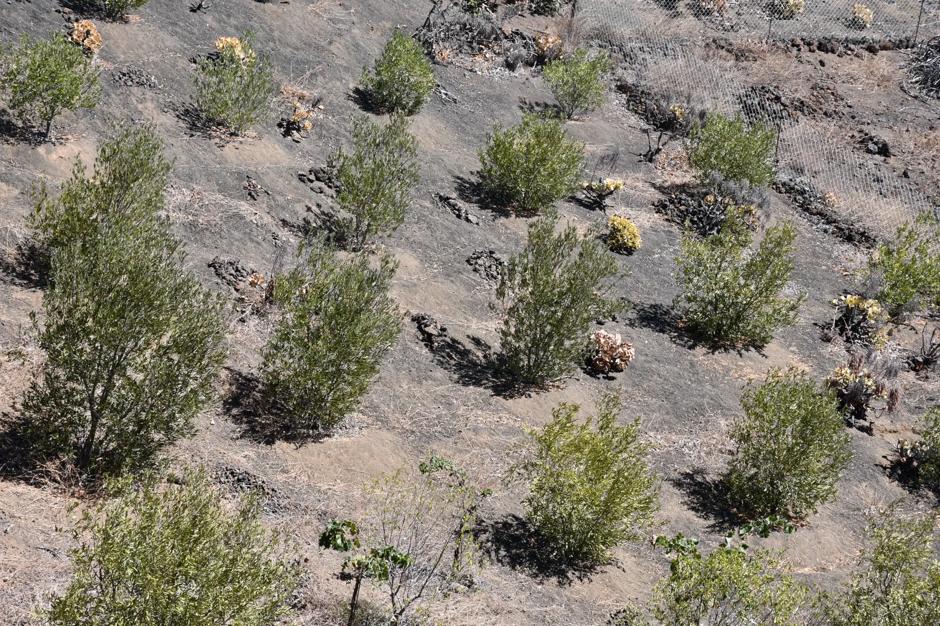
As the trail progresses, these natural signs fade, giving way to areas where humans have regained control, introducing relatively recent crops such as olive trees, which have sparked a tradition of artisanal oil production of very high quality.
Datos Técnicos
| Branch | Ramal 2 |
|---|---|
| Coordinates | 27.684877, -17.989379 |
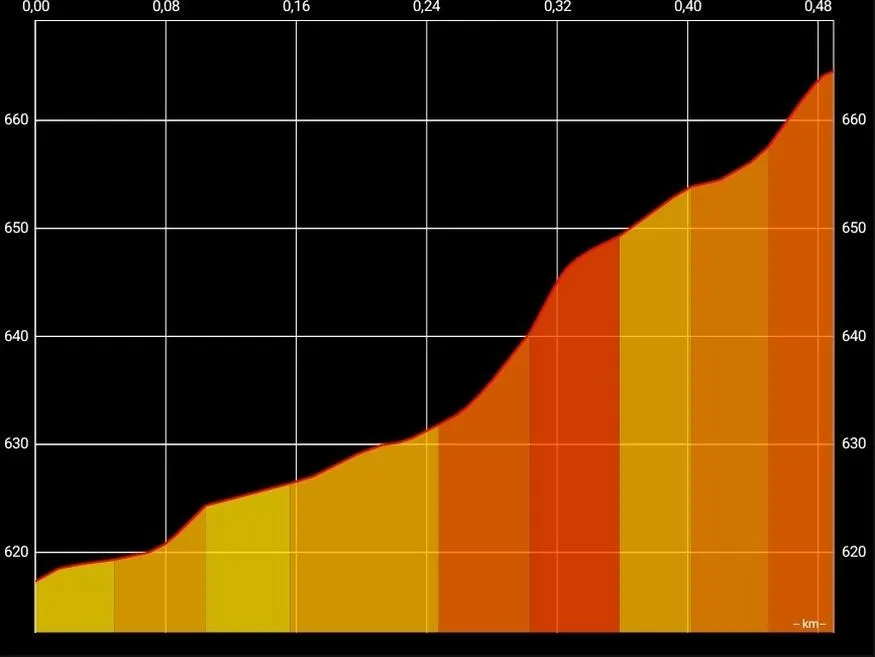
| Maximum altitude | 664 m |
| Minimum altitude | 617 m |
| Distance (Ascending) | 0,49 km |
| Duration | 8min 24s |
Pole Location
View the exact location of the pole