-
R2_P9
El Mentidero - El Canto - El Cascajo - Ramal 2
R2_P9
Detailed pole information
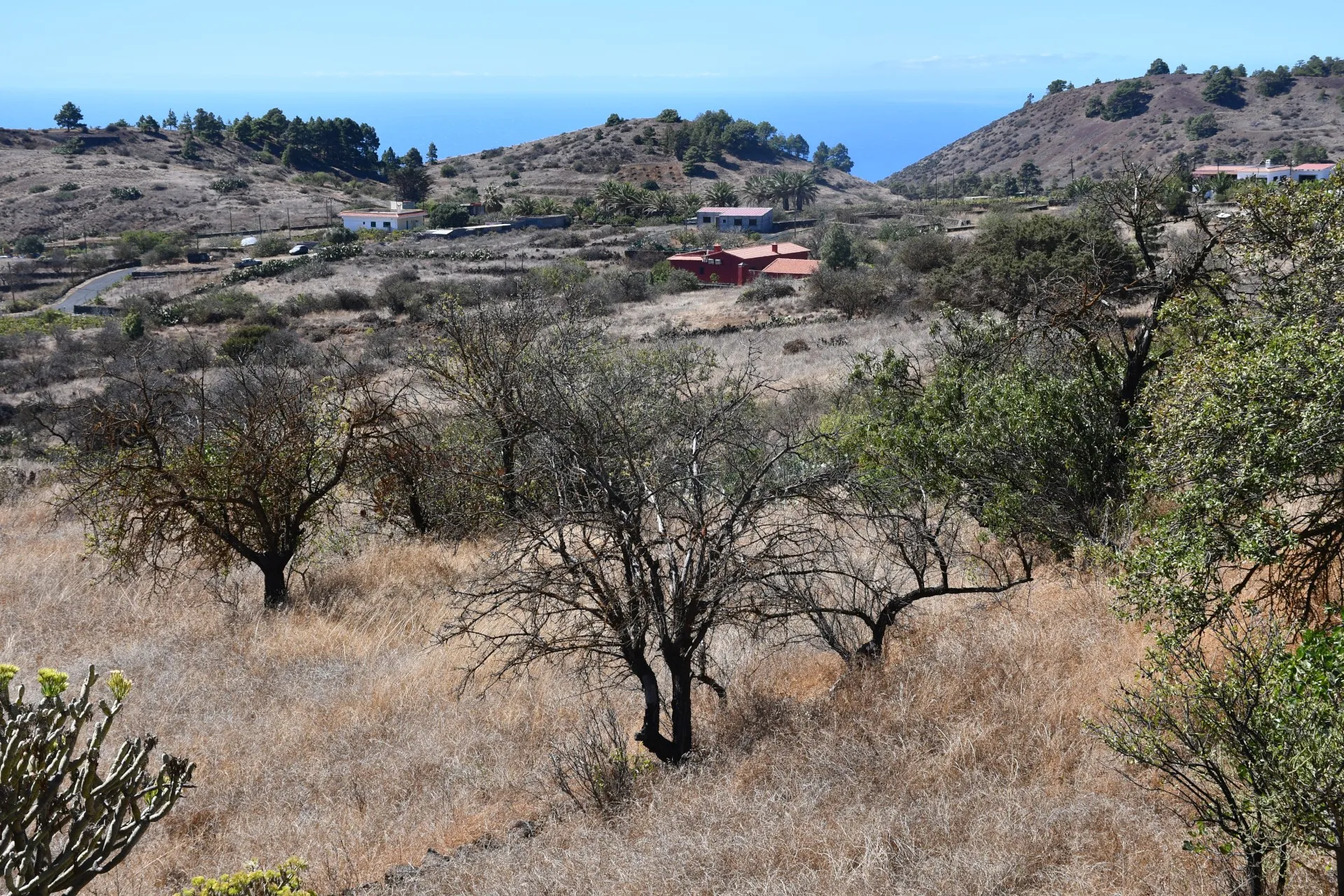
This pole is part of the trail El Mentidero - El Canto - El Cascajo in the Ramal 2. A strategic point of the route that will help you orient yourself during your journey.
Pole Details
All technical information of the point
Description
If you have reached this point, congratulations! You have successfully completed the second branch of the circular trail “El Mentidero – El Canto – El Cascajo”, bringing to an end the route we have named “The Path of Sustenance”.
With this trail, we seek to evoke the deep-rooted origins of El Hierro’s culture, shaped by the remarkable ingenuity its people have shown throughout history in their struggle for sustenance and survival.
Datos Técnicos
| Branch | Ramal 2 |
|---|---|
| Coordinates | 27.701021, -17.983088 |
| Maximum altitude | 804 m |
| Minimum altitude | 804 m |
Pole Location
View the exact location of the pole