El Mentidero - El Canto - El Cascajo
Detailed trail information
Circular route lasting approximately 1.5 hours and covering just over 5 km, subdivided into 7 sections, which runs through a small part of the first branch, the entirety of the third branch, and a small part of the second branch of the “El Mentidero–El Canto–El Cascajo” trail.
9
1h 26min 13s
Low
Circular
5,22 Km
Route Map
View the route and trail poles
Trail Details
All the information you need to know
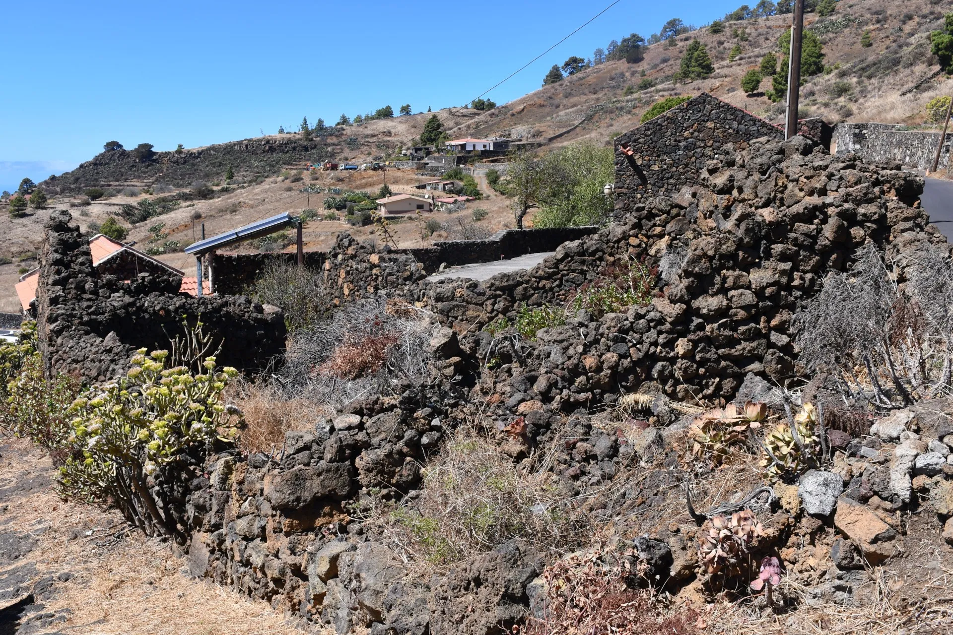
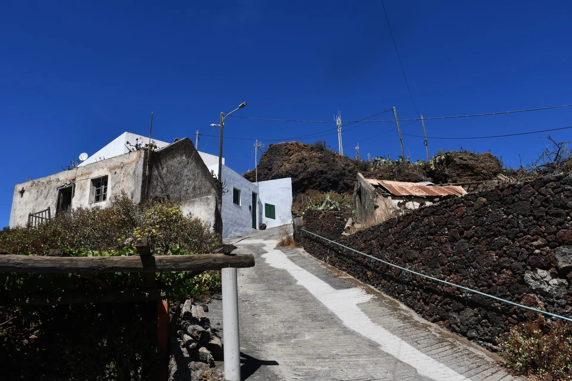
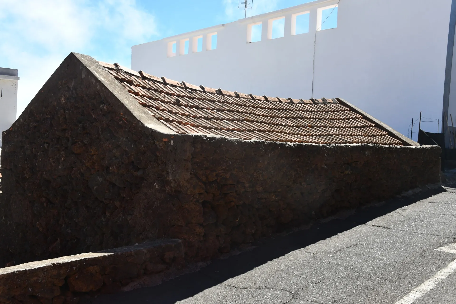
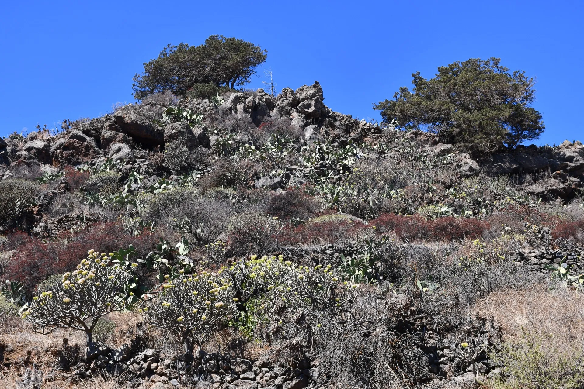
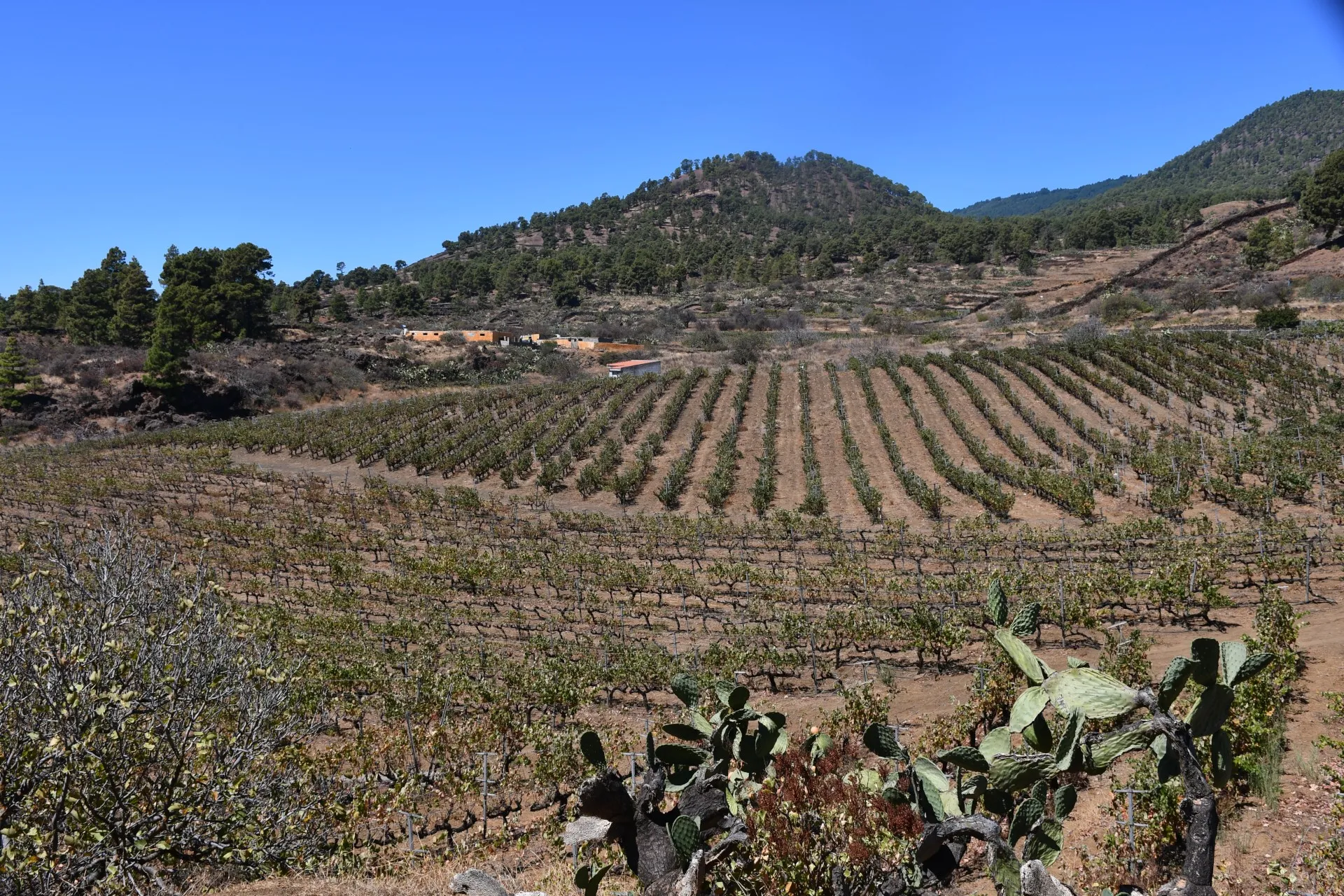
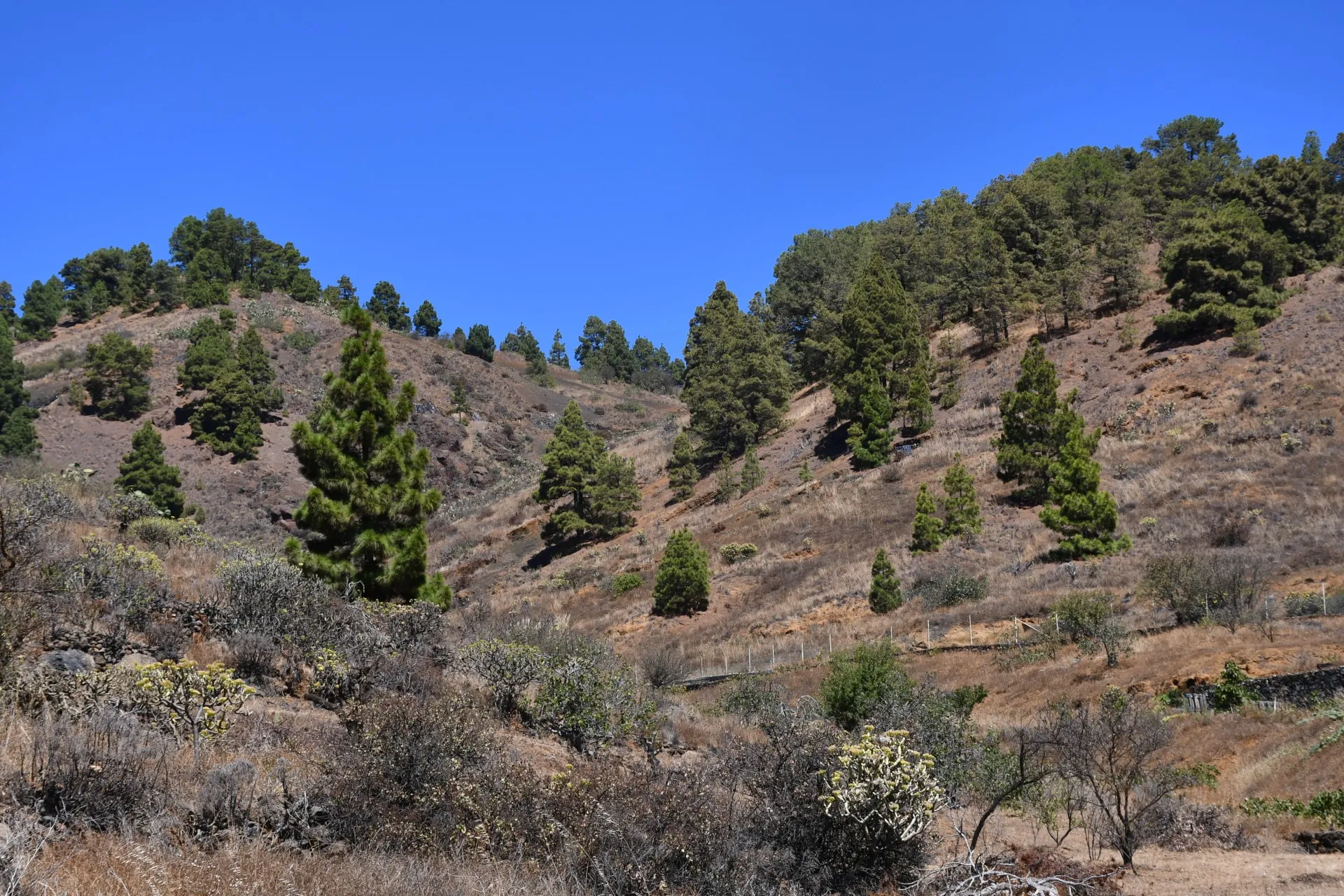
This route provides a small sample of everything offered by the network of branches that make up the trail known as “El Mentidero–El Canto–El Cascajo”. It is a route of about 5 km and lasting approximately 1.5 hours, which begins at “El Mentidero” and runs, in the following order, through a small part of the first branch (1.4 km), the entirety of the third branch (1.4 km), and a small part of the second branch (2.1 km), returning to the starting point. This route is subdivided into a total of 7 sections, each lasting a maximum of around ten minutes, which allow you to discover, through the information provided on 9 posts equipped with a QR code, some details about three of the four themes offered by the trail: “El Latido del Monte” (Branch 1), where you can experience the steady pulse of nature re-emerging in places that, in times past, were transformed by human presence and later abandoned; “El Camino de los Minifundios” (Branch 3), which mainly addresses historical and current aspects related to agricultural work; and “La Senda del Sustento” (Branch 2), which explores the subsistence of entire generations of Piñeros and Piñeras based on their close relationship with the sea and the land, and on the development of pastoral and fishing activities.
Detailed Route - Poles
| Branch | Pole Name | Altitude | Distance | Duration |
|---|---|---|---|---|
| Ramal 1 | R1_P1-P2 | ↗ 831m / ↘ 804m |
↗ 0,06 km ↘ 0,61 km |
11min 33s |
| Ramal 1 | R1_P2-P3 | ↗ 808m / ↘ 765m | ↘ 0,68 km | 11min 33s |
| Ramal 3 | R3_P1-P2 | ↗ 760m / ↘ 709m | ↘ 0,83 km | 14min 18s |
| Ramal 3 | R3_P2-P3 | ↗ 709m / ↘ 646m | ↘ 0,57 km | 9min 47s |
| Ramal 3 | R3_P3 | ↗ 646m / ↘ 646m | - | - |
| Ramal 2 | R2_P6-P7 | ↗ 671m / ↘ 651m |
↗ 0,49 km ↘ 0,32 km |
13min 49s |
| Ramal 2 | R2_P7-P8 | ↗ 730m / ↘ 665m | ↗ 0,65 km | 11min 6s |
| Ramal 2 | R2_P8-P9 | ↗ 804m / ↘ 730m | ↗ 0,65 km | 11min 6s |
| Ramal 2 | R2_P9 | ↗ 804m / ↘ 804m | - | - |